Vichitragarh
12 Oct 2009An outing after quite some time. While thinking of overnight / day-long trips, I felt some nearby destinations for the overnight trips might be overflowing with people on account of a long weekend (Fri-Sat-Sun, on account of Gandhi Jayanti on the Friday). So it was decided we'd go for a day-long trip. It could start with a visit to some fort -- there are plenty around Pune -- and then proceed to other places from there.
From the list of forts that we shortlisted which were within a radius of 80 kms from Pune, Vichitragarh sounded very interesting. Weird Fort. Who wouldn't be intrigued? Its description mentioned it's hidden behind clouds most of time so that added some curiosity as well. So it was decided we'd start at about 7:30 towards Vichitragarh.
Vichitragarh, or Rohida fort, as it's also known, is just off Bhor near Bajarwadi. From NH4, pass the first toll gate towards Bangalore, pass the Narsapur phata that goes towards Baneshwar and look out for a turn to the right towards Bhor village. From Bhor, it's about 10 kms towards Bajarwadi. The total distance would be about 50-60 kms from Pune.
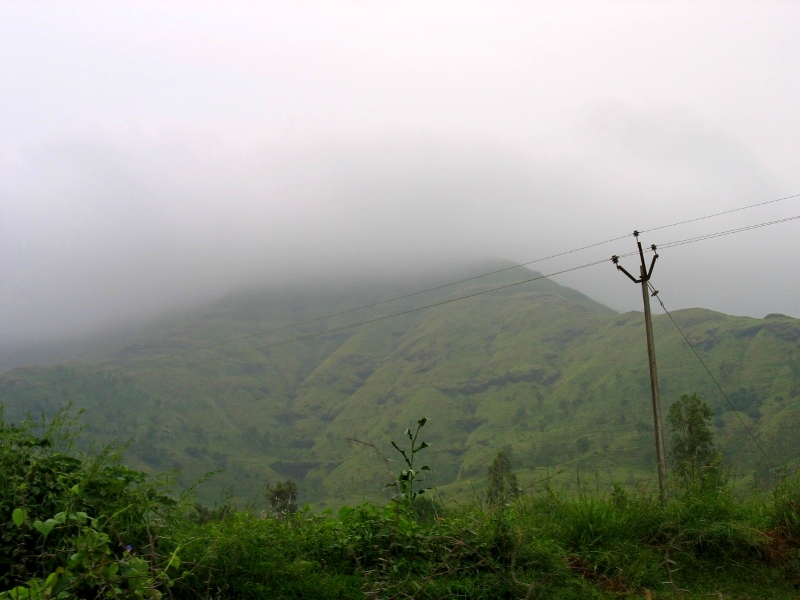
Entering Bajarwadi makes you feel Pune isn't so a bad place after all. Here is a place that's removed from population and the city chaos. A very clean-looking school is the first sight of any building in Bajarwadi. For us, it was also the last. We parked the car in the open near the school and began the trek fort-wards.
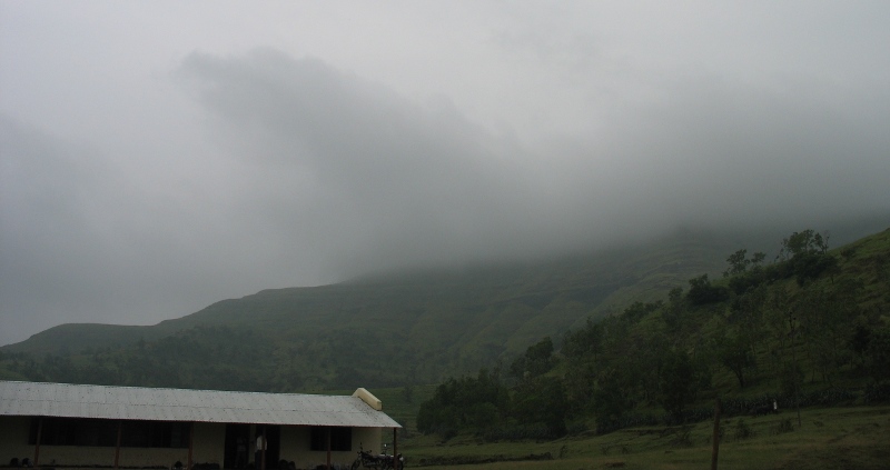
A helpful local mentioned the fort is easily-reachable and is 30 minutes away. I thought 30 minutes of climb isn't too bad for a site that's obscured by clouds most the time. And an easy climb, that too.
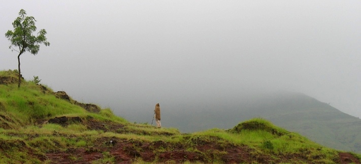
We began our march towards the fort, with no visibility of it. There were clouds covering a lot of the landscape in front of us, but surely the beauty of the place wasn't lost on us. I've spent a really long time in Pune but I've never seen a place more likeable than the one I was standing at that moment. It was full of greenery on either side of us. Small, nicely marked farms towards the slopes of the wide hills which we were now climbing. The hills themselves were full of life. Shrubs, and goats and cows and oxen grazing on them.
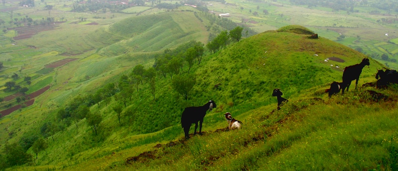
Bambi mentioned the view you get here is the view you get everywhere in Kerala. I agree. Beautiful slopes, Extremely green hills staring at us and clouds to welcome us to our summit.
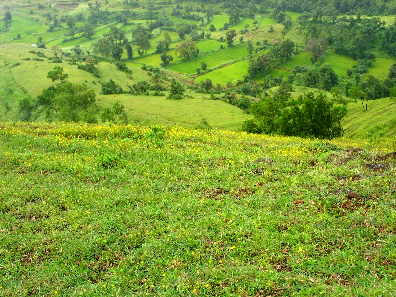
What started as a gentle walk towards the clouds soon started morphing into negotiating a ghat section on foot. As we walked further, we realised we were going atop not directly, but via a series of curvy paths. Perhaps that explains the 'easy' part of the climb. Whenever we looked back, we could see we were gradually passing small hills. We were going farther away from the school -- and also leaving it way below under us.
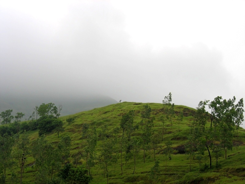
Some helpful people have marked rocks and trees with arrows to guide people to the fort from what we guessed would be the path of least hardship. Without the arrows, one would soon be lost in the winds and the trees. Not to mention all the hills that dot the landscape.
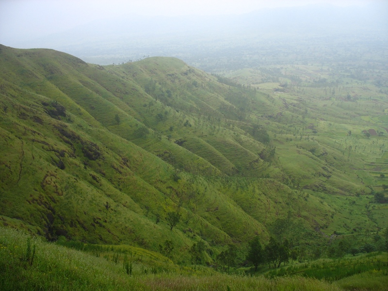
It looked like a perfect day to go on such a trek, too. Cloudy -- no sunshine to sap our energy and not rainy -- to ensure we didn't slip while negotiating the ghats.

But it was windy. Wind strong enough to make a person sway. However, sitting on lush grass and watching the grass dance away is a delight. A delight that can make one think of not going back and be provided with a laptop and broadband connection. The farms below would provide for the food and a small hut some shelter. Funny how the basic necessities of life have been so accommodating to indulge in the new additions.
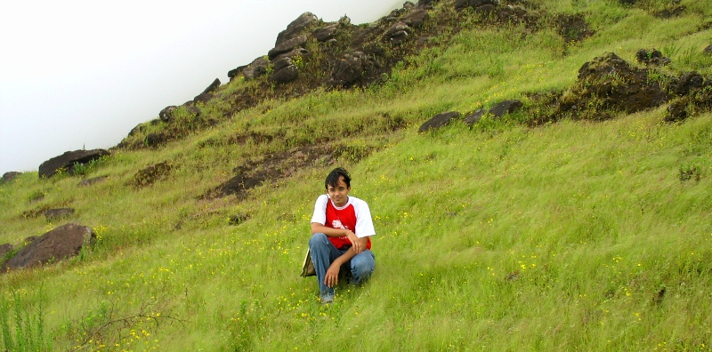
Our "trek" was more of a leisurely stroll with a few hardships. Hardships hard enough to make some wonder if we should leave the fort alone (which, after one and a half hours of climbing, was no where to be seen) and just return from whatever percentage of our journey had so far been. The clouds have a way of obscuring details. No wonder the met department finds it difficult to predict what they claim they can predict. Anyhow, not wanting to think of the retreat, I was adamant on reaching "there" and also explaining to the troupe, by way of reason, that it couldn't be much farther away if we went by the gent's estimate of 30 minutes to the top.
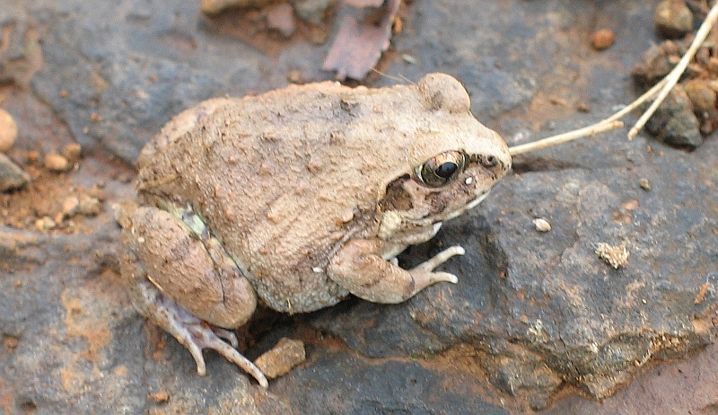
It finally seemed we were getting somewhere -- or at least someone else was getting at where we were -- for we heard some voices. In about 2 minutes' time, we could also see the people. They mentioned the fort must be 10 minutes away so there was some added sense of relief. Advice to not look at the climbing-down or rather slipping-down party was good indeed and we continued onward. Everyone had a general feeling of the descent not being as easy because of the water on the rocks and the party's efforts to stay upright weren't encouraging visuals.
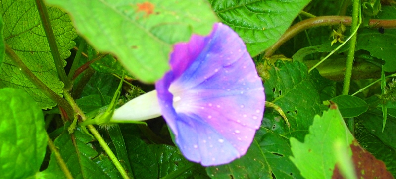
We could by now see the faint outline of the fort walls and it was but natural to have experienced a sense of an achievement.
The majestic doors of the fort welcomed us in. A few steps further up and we were in front of an informative board confirming that we were at Vichitragarh.

The text in Marathi on this board reads:
Vichitragarh aka Rohida aka Bini's Fort (Bini cha killa)
The fort's entrance is shaped like a cow's face and a picture of Ganesh at its head is unrecognisable now.
To the right of the second entrance is an eye-catching 3x3m. water tank.
The third entrance, made of stones and which is closed forever, has impressions to either side of it. To the left is some text in the Devnagari script and to the right is the text in Persian. (Some words in the Devnagri script read 'Hazrat Sultana... Mudpakshala...')
To the west of the temple are a few water tanks... of which 3 are connected...
The Fort's history
This ancient fort...
Bandal refused Shivaji's offer to fight for Swaraj.. and hence Shivaji attacked Rohida.
Some of the text is illegible because of the rust.
A map shows some of the other forts that are visible from Vichitragarh (or Vichitragad). Sinhagad to the North, Purandhar to the East, Raireshwar to the South, Kenjavgad and Kamalgad
to the South-West and Rajgad and Torna to the North-West.
As for us, we couldn't even see 10 ft in front of us thanks to the heavy fog / cloud cover.
There's also a mention of the expanse of the fort: 5 hectares.
Once safely up at the fort, we sighted a nice semi-circular sitting area and immediately took to the throne. I was pretty impressed seeing a solar panel assembly which fed energy into a lamp. The government does do some good some of the time, I thought.
A while later, we heard sounds of a bell. Anticipating a person selling kulfis would have been unwise but one can't stop thinking of such possibilities when the bell rings such. A man casually strolled towards us a short while after and explained it was him offering prayers at the temple, instantly melting any more thoughts of kulfis.
He mentioned he's the keeper of the fort, with the authorities having felt the need of appointing someone to guard the fort at day time after a heist of Rs. 50,000 solar energy equipment. Night times are guarded by closing the doors to the fort. Robbing equipment -- I thought that certainly wouldn't figure in tourists' lists of getting tick-marks against when visiting the fort. It had to be an inside job, a job carried out by locals. The guard started getting over-friendly what with questions about where we stayed, repercussions of swine flu and taunting people who couldn't speak Marathi. We felt that should be enough chit-chat and thought of taking a stroll around the fort.
All we could was knee-length grass swishing away and clouds obscuring any other view. It certainly is some experience watching such tall grass being shaped into contours by persistent winds.
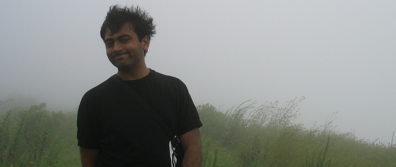
The track we were walking on soon disappeared and for any further progress, we would've had to walk amidst the grass, that was depositing all its dew on our clothes. The prospect of getting introduced to snakes taking their siesta wasn't a particularly inviting one so we thought we'd skip the rest of the fort and also the temple, by way of which we'll skip another friendly encounter with the guard, who didn't fail to mention he'd jot down our details on a register as is the custom for tourists visiting the fort.
So off we went by the solar panel assembly; whatever remained of it, out the door, and back amidst the wet rocks and the friendly flora around. With some aprehension, we started the descent. It wasn't raining, thankfully, but now we were well aware we'll have to pass steep declines as well as rocks with thin films of water on them, making the descent slippery and slow.
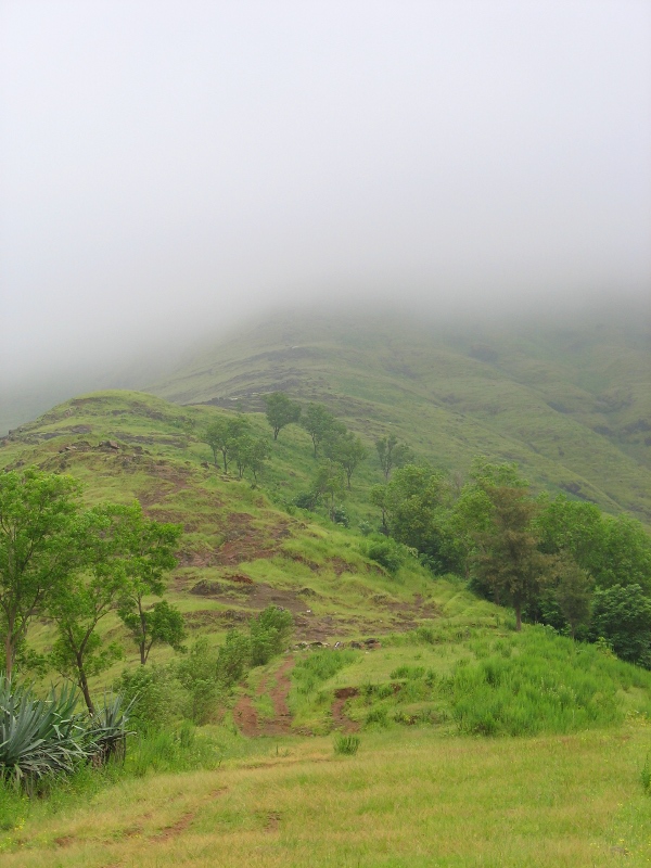
Add to that, the arrows weren't visible everywhere to guide us back, and when having to choose between multiple routes we went by the looks of the terrain rather than memory. A few "interesting" slopes later we were on the plains with the grass swaying exactly the way we had left it.
The blowing wind made walking down difficult too. Slight imbalance and the wind would made its effect felt.
Nevertheless, the climb down clocked at 1:30 hrs compared to the 2:00 hrs walk up. A total of 5 hours were spent for the extremely enjoyable journey up and down the Vichitragarh fort. I'm already thinking of going back with a few friends who I know will enjoy going to such an outing.
On the way back, we stopped for a short while at the Baneshwar water fall, entirely giving the temple a miss. Not much to talk about the waterfall itself, but the place around it looks like a good jungle and a separate trip there might turn up some interesting memories as well.
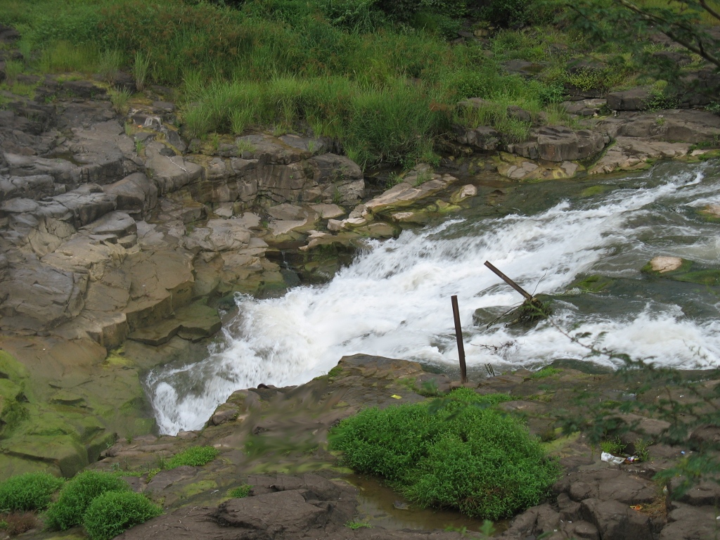
I've tried some GIMPing with these pics -- the first time I'm trying that.